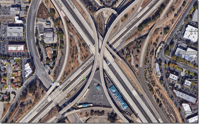
I’ve never noticed this before… or maybe it’s a new feature that Google recently added.
Click each of the links below to look at different satellite views of the Los Angeles area:
- https://www.google.com/maps/@33.9303766,-118.3701895,2379m/data=!3m1!1e3
- https://www.google.com/maps/@34.0316144,-118.2216863,995m/data=!3m1!1e3
- https://www.google.com/maps/@33.7829021,-117.8795468,1447m/data=!3m1!1e3
- https://www.google.com/maps/@33.6732444,-117.8861655,491m/data=!3m1!1e3
What’s missing? Cars on the freeways! I can’t believe if missed this before! I looked all over the freeways around LA, and except for a few anomalies, it looks like Google has removed vehicles from the roads! Considering that they have a bazillion photos (not a real number, it’s just obvious that they have a huge number of pics) of all kinds of terrain and roadways, that must be a pretty amazing algorithm to automate the removal of vehicles from the roads.

